Note that the apparent 'difference' in height is only to provide separation between the two flight paths to reduce confusion about what refers to each. Think of them 'side by side' with a small amount of "parameter" in an isometric projection, so on an inclined plane similar to that seen in the drawing of the 'site'. Those are two flights, one of the 15-th and one on the 16-th of April. The funniest part is that I CANNOT find the original whole document, from which I cut off that picture... (
Dumb arse - that's me!)
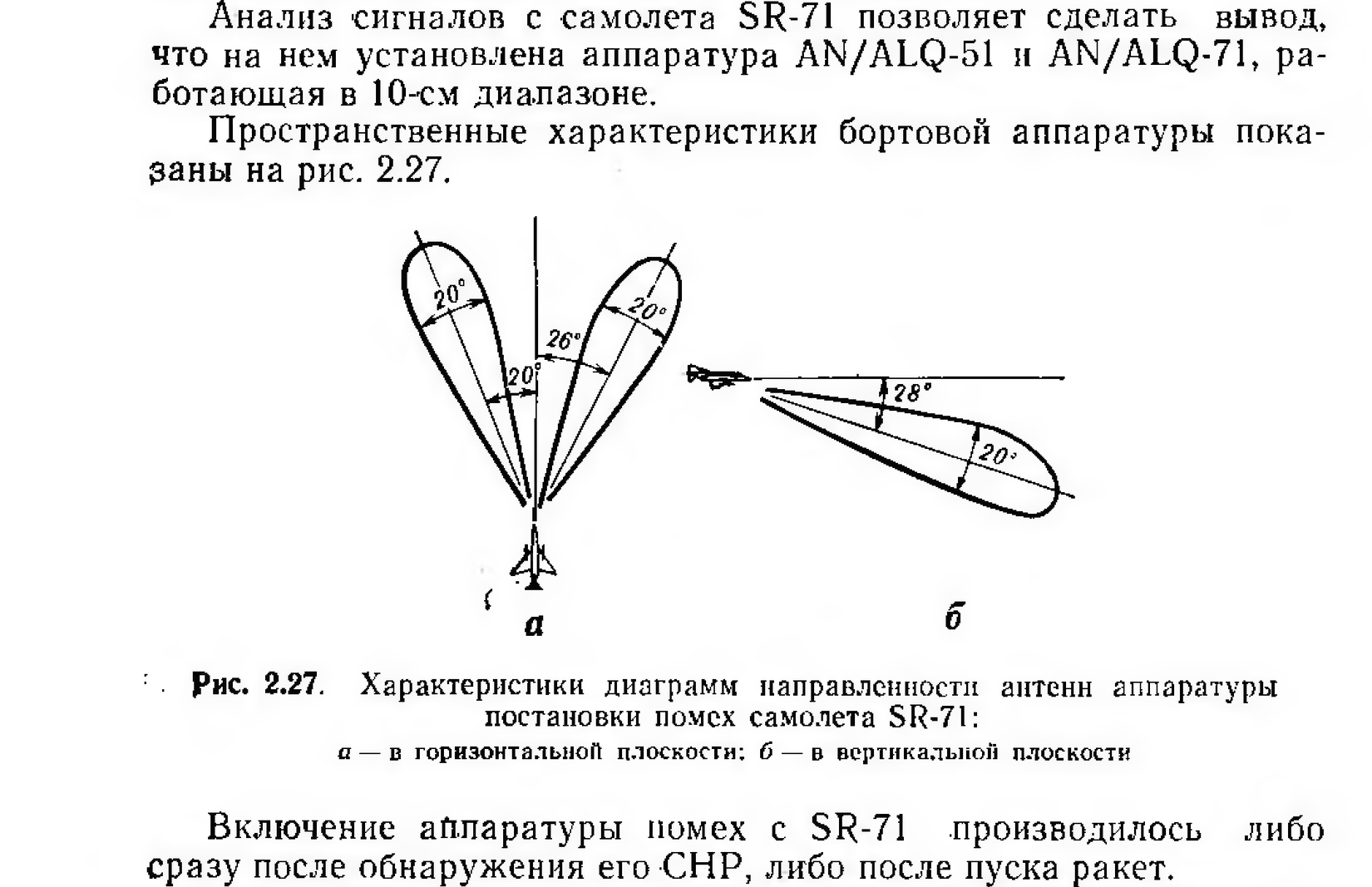
Still, got this one - jamming areas from SR-71, as determent by russians and vietnamesses: