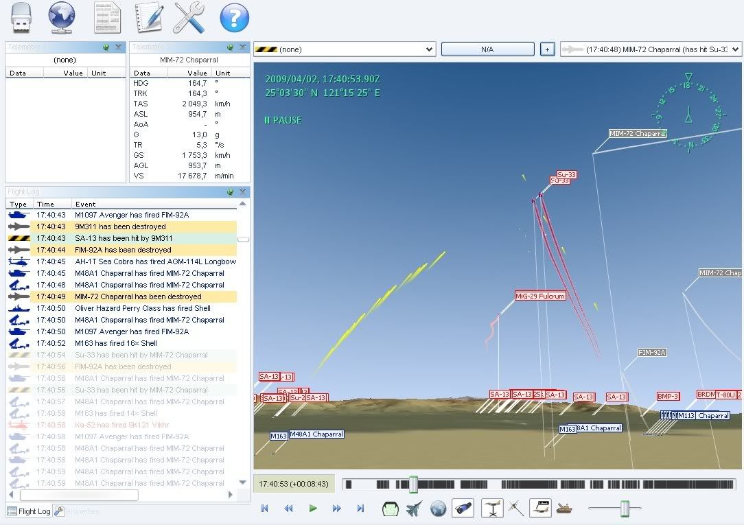
One of the things Tacview allows is to use either game maps, or real world maps. So one interesting thing to do is to compare them and see how close (or not) EECH's terrain is to the real terrain.
When doing that it seems fairly clear that EECH has used less sampling points for its terrain, it does miss many of the smaller details. But all the big features, big mountains and coastlines etc does seem to match up fairly well.
Also note that the real world data isn't perfect either. It has many holes, particulary in the mountains where height data is just missing. And also it gives the impression of there being lots of ponds close to the coast lines, where non exist in real life.
Here are some screenshots comparing EECH to the real world.
One of the EEAH maps, Cuba. Guantanamo Bay is in the top left:
And this is how it looks from real satelite data:
Another EEAH map, this river valley in Thailand has been host to many of my most memorable EECH missions

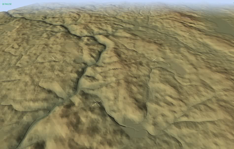
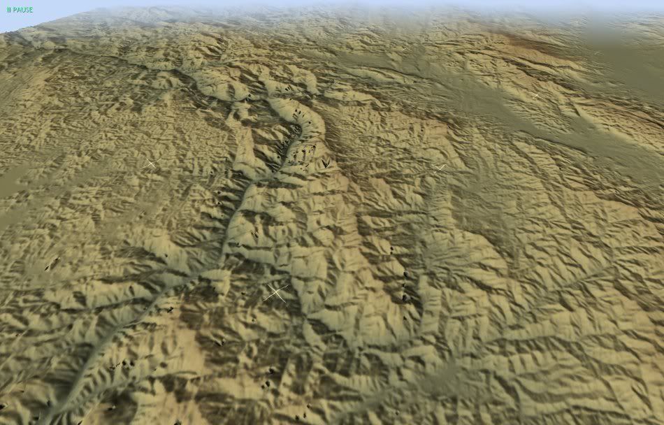
Nice to see it's a real valley there:
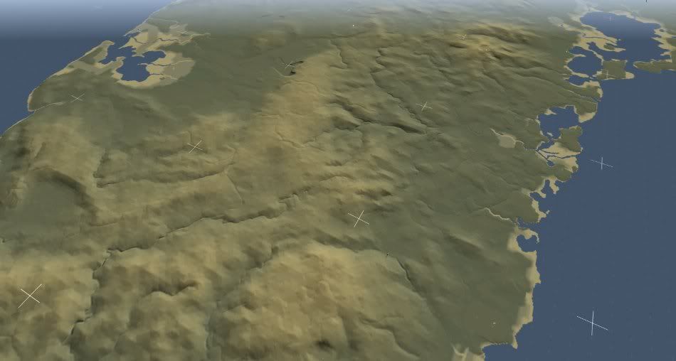
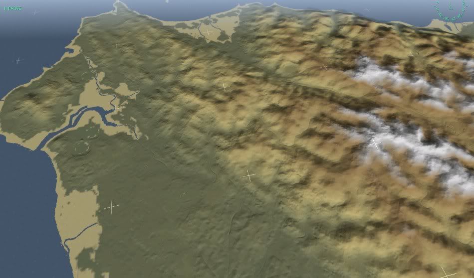
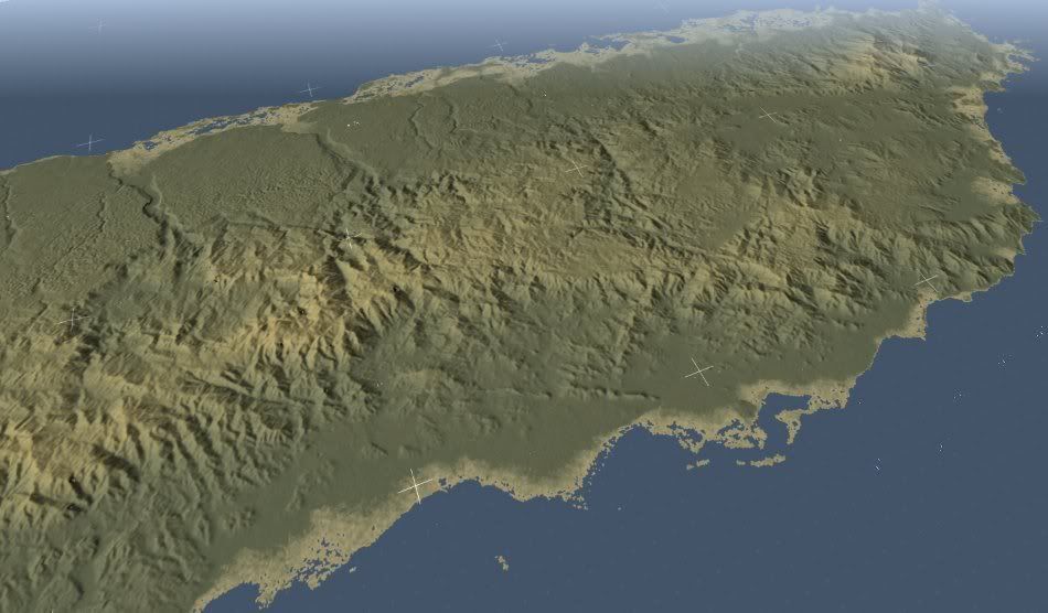
For EECH Razorwork said they increased the map resolution, so these maps may show some more detail. Here's Northern Taiwan:
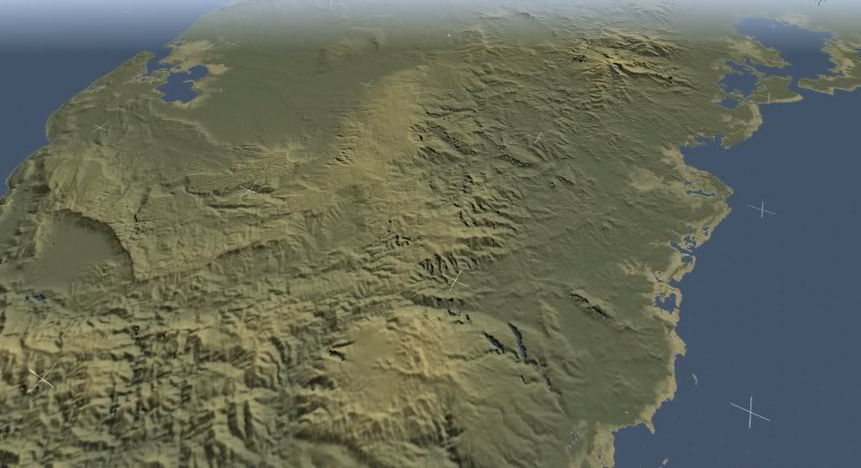
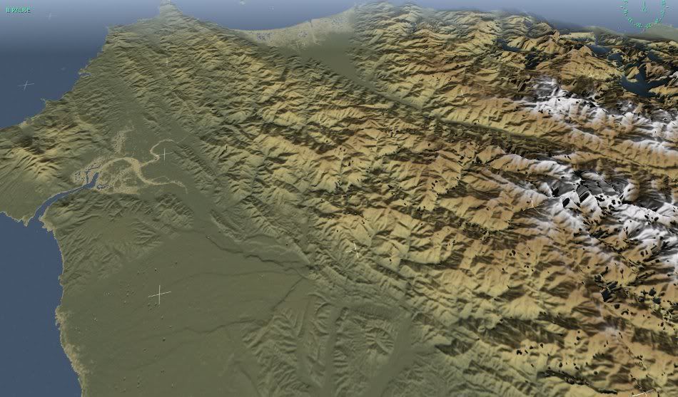
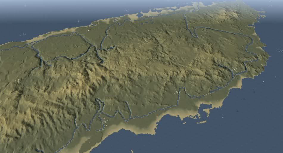
And the real Taiwan (with lots of holes in the map data on the right):
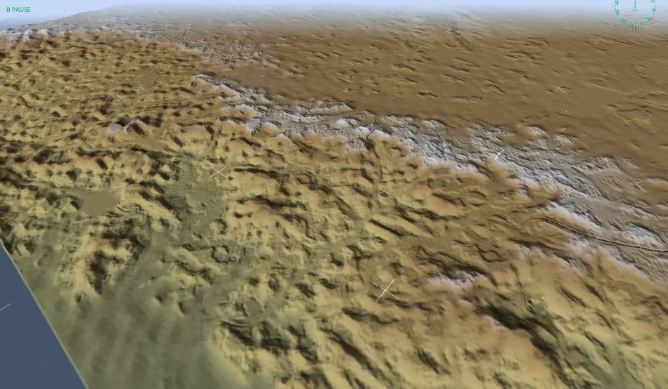
EECH Yemen:
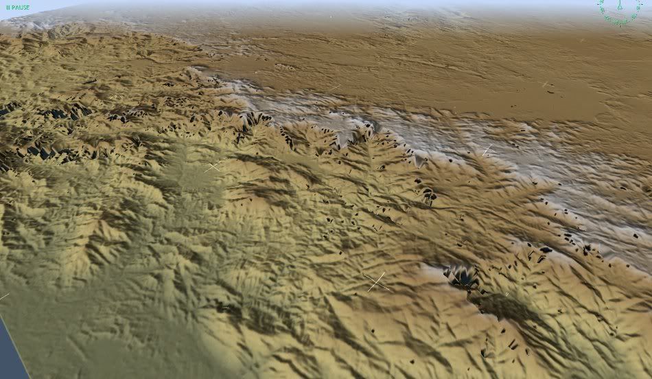
Real Yemen:
And here is one custom EECH map, Puerto Rico:
Real Puerto Rico:
So what do you think about EECH's terrain modeling?